
A Guide To Yurimaguas

The road between Tarapoto & Yurimaguas that passes through the Cordillera Escalera Conservation Area.
Yurimaguas, a friendly port of about 35,000 inhabitants, 130 km (80 miles) beyond Tarapoto is literally the end of the road.
It is the most northeasterly city in Peru that is connected with the rest of the country by road.
Founded in 1710 by Jesuit missionaries, the town is named after two indigenous groups, the Yoras and the Omaguas, who no longer exist.
As the main port on the lower Huallaga River, with direct fluvial connections to Iquitos, Yurimaguas grew during the Rubber Boom and a few buildings in the centre boast imported tile work of that period.
The main reason to visit, apart from getting to the end of the road, is to take a boat to Iquitos.
The main port is at the north end of town, with large three-decked vessels leaving several times a week for the two to three-day voyage.
Stops are made at Lagunas, or Nauta (from where one can catch a bus to Iquitos), as well as numerous tiny riverside settlements.

'Jungle of Mirrors' in the west of Pacaya-Samiria Reserve.
Please note that the facilities on board these ferries are basic, on the whole, and a long way removed from the comfort of the various Amazon cruise boats that offer tours from Iquitos.
Yurimaguas can also be used as the jumping-off point for a visit to the lesser-visited western edge of the Pacaya-Samiria Reserve. Please ask us how.
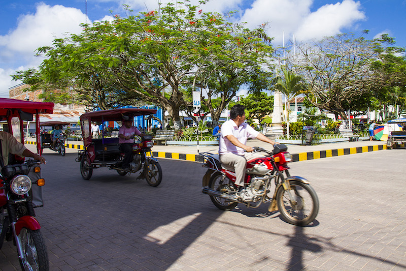
Motorbikes & mototaxis in Yurimaguas' Plaza de Armas.